Satellite View Highlights the Volcanic Landscape of Chiricahua
A new NASA image report traces Arizona’s rock formations to an ancient volcanic history.
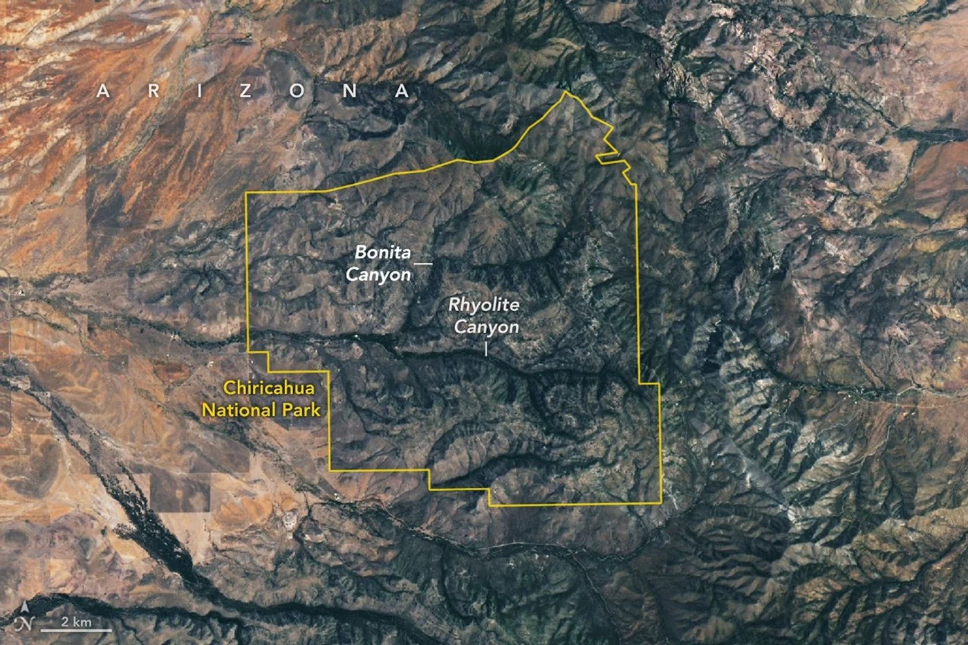
An orbital perspective
NASA Earth Observatory has released a Landsat 9 view of the Chiricahua landscape in southeastern Arizona. The July 2 image, featured in an October 28 report, shows pale rocky ridges cut by greener stream valleys.
From eruption to erosion
The formations began with major volcanic eruptions around 27 million years ago. Ash and other volcanic material hardened into thick layers of welded tuff. Weathering and erosion later shaped the stone into spires, balanced rocks and canyons.
A landscape at several scales
Individual pinnacles are too small to identify clearly in this broad view. The image instead reveals the arrangement of valleys and ridgelines. The region also brings different desert and mountain environments together, helping explain the variety of vegetation across its terrain.
A satellite image is a useful introduction to the landscape, while ground-level photographs reveal the rock forms visitors recognize. Neither replaces current access information. Check the land manager’s latest guidance before relying on an old image for travel planning.
Source & verification
This independently written summary is based on NASA’s original report, released 2026-10-28. Consult the source for research details, methods and subsequent updates. NASA does not sponsor or endorse this publication.
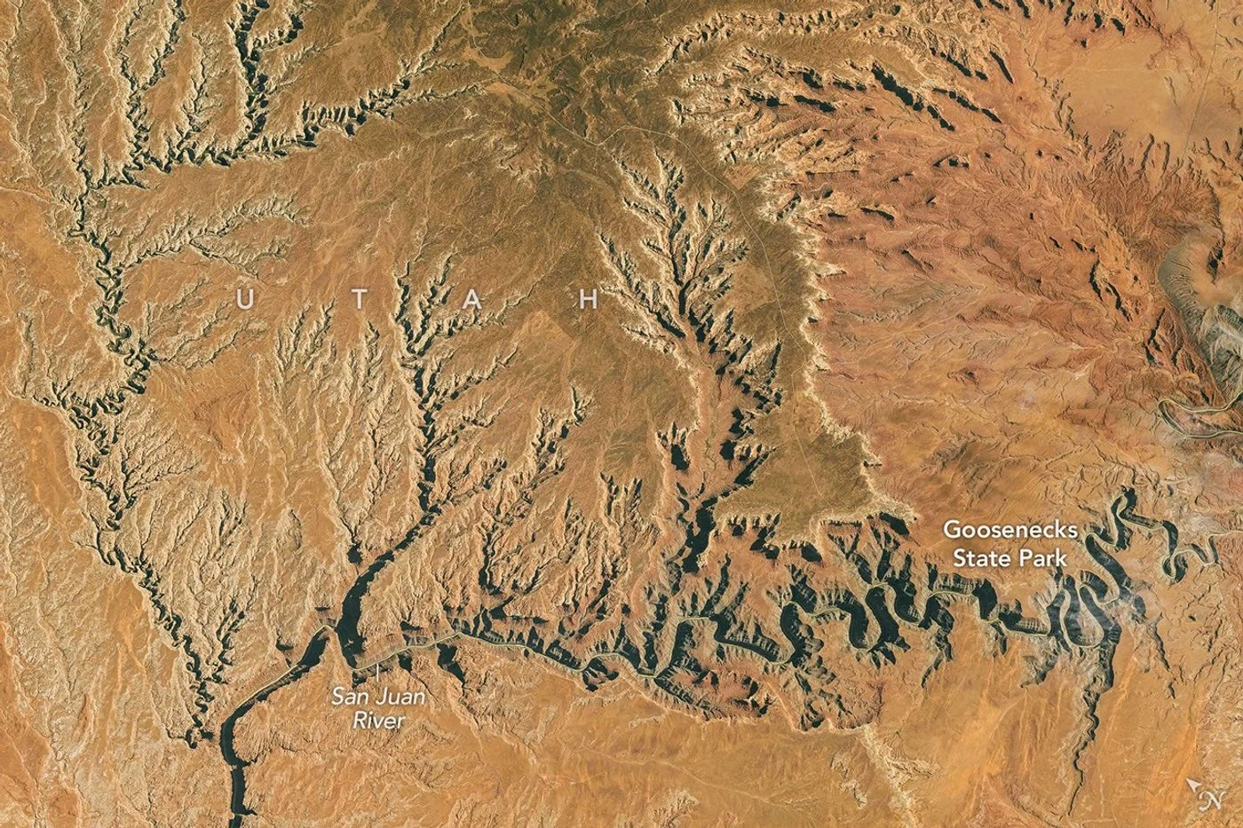 Astronaut Photograph Follows Utah’s Deeply Winding San Juan River
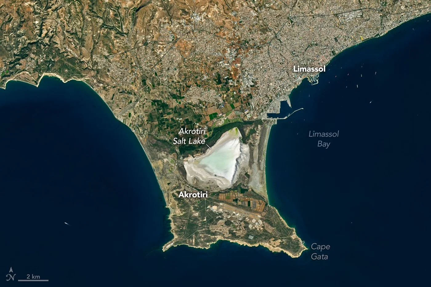 Landsat View Reveals the Changing Shores of Southern Cyprus