NASA Uses PACE to Follow the Changing Colors of Autumn
Repeated observations help researchers track vegetation pigments across regions.
A wider view of fall
NASA researchers are using the PACE satellite’s Ocean Color Instrument to follow autumn vegetation change. An October 26 Earth Observatory report describes observations of changing red, yellow and green signals across large areas of the Northern Hemisphere.
What the instrument measures
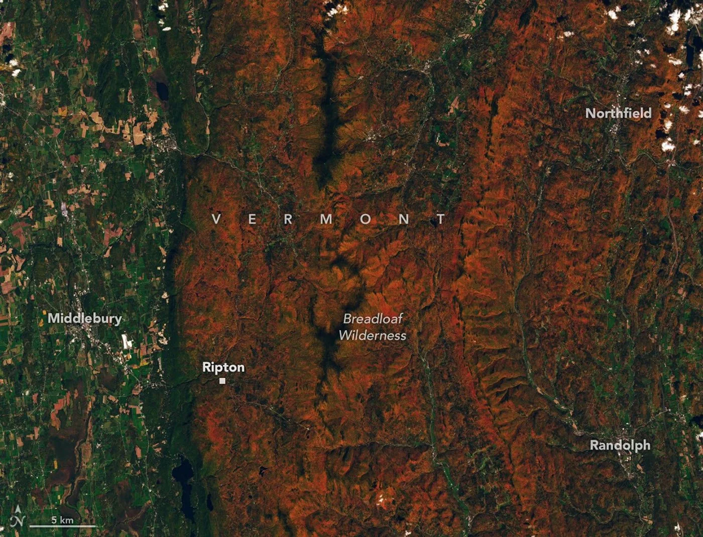
Different wavelengths help researchers examine pigments associated with leaf color. Repeated observations can reveal where seasonal changes progress and when particular signals peak. A separate Landsat 9 image from October 3 supplies a closer view of autumn-colored ridges near Ripton, Vermont.
Checking from the ground
The report also describes public photographs submitted through the GLOBE program to help check satellite observations. Interpretation needs care: crops, vegetation stress and clouds can affect the signal. A red patch in a satellite product does not automatically mean a forest has reached peak autumn color.
The image here is a real Landsat observation, not a generated woodland scene. Its date belongs to the pictured landscape. Readers comparing foliage reports should distinguish the day an image was taken from the later day a research summary or news article was published.
Source & verification
This independently written summary is based on NASA’s original report, released 2026-10-26. Consult the source for research details, methods and subsequent updates. NASA does not sponsor or endorse this publication.
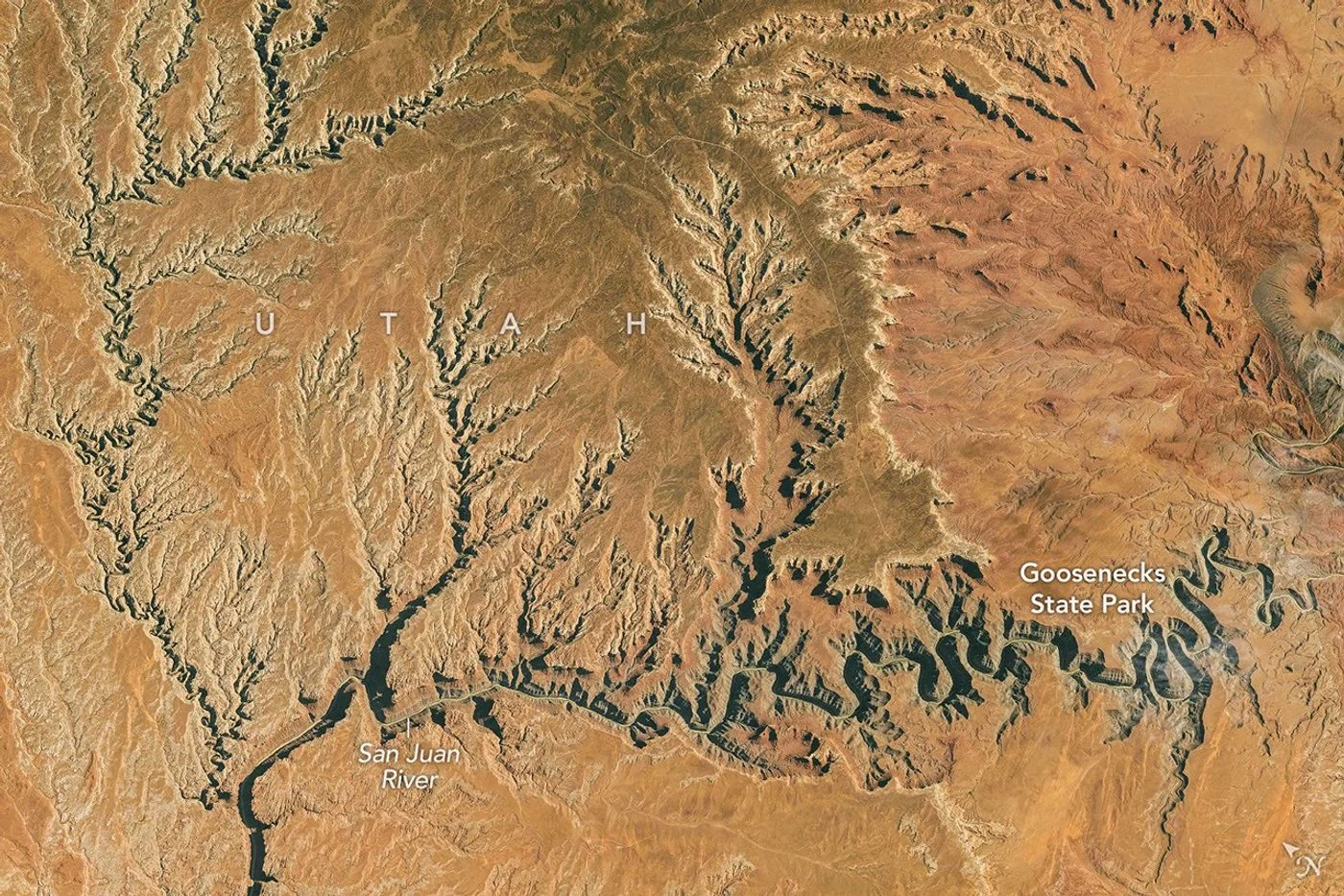 Astronaut Photograph Follows Utah’s Deeply Winding San Juan River
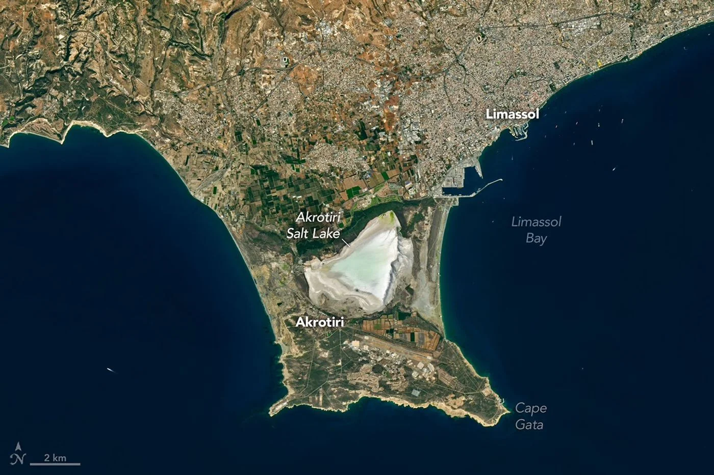 Landsat View Reveals the Changing Shores of Southern Cyprus