Satellite Images Track Contrasting Storm Systems Across the Pacific
In-fa’s circular eye and a sprawling northern system illustrate two different storm structures.
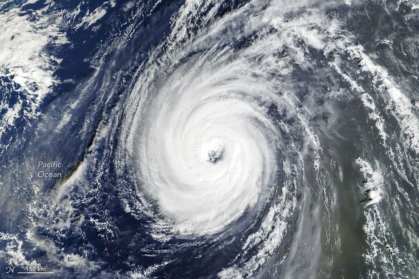
Two systems in one ocean
NASA imagery released on November 3 documents an active late-October Pacific. Typhoon In-fa appeared near the Mariana Islands, while the remnants of Champi became involved in a larger storm system approaching Alaska. The observations show weather evolving across widely separated parts of the basin.
A distinctive eye
A Terra satellite image from October 30 shows In-fa with a large eye and an almost circular cloud field. NASA describes these features as characteristic of an annular tropical cyclone, a relatively uncommon structure with less prominent outer spiral bands.
A changing source of energy
Farther north, Champi’s remnants had undergone extratropical transition. Such systems can develop fronts and broad comma-shaped clouds as they interact with temperature contrasts. That change can enlarge the area affected by wind even when the storm no longer fits the familiar tropical-cyclone pattern.
These images describe past observations and are not live warnings. For decisions about flights, shipping or personal safety, consult the relevant national weather agency. An eye’s appearance alone is not a reliable way to judge the hazard at a particular place on the ground.
Source & verification
This independently written summary is based on NASA’s original report, released 2026-11-03. Consult the source for research details, methods and subsequent updates. NASA does not sponsor or endorse this publication.
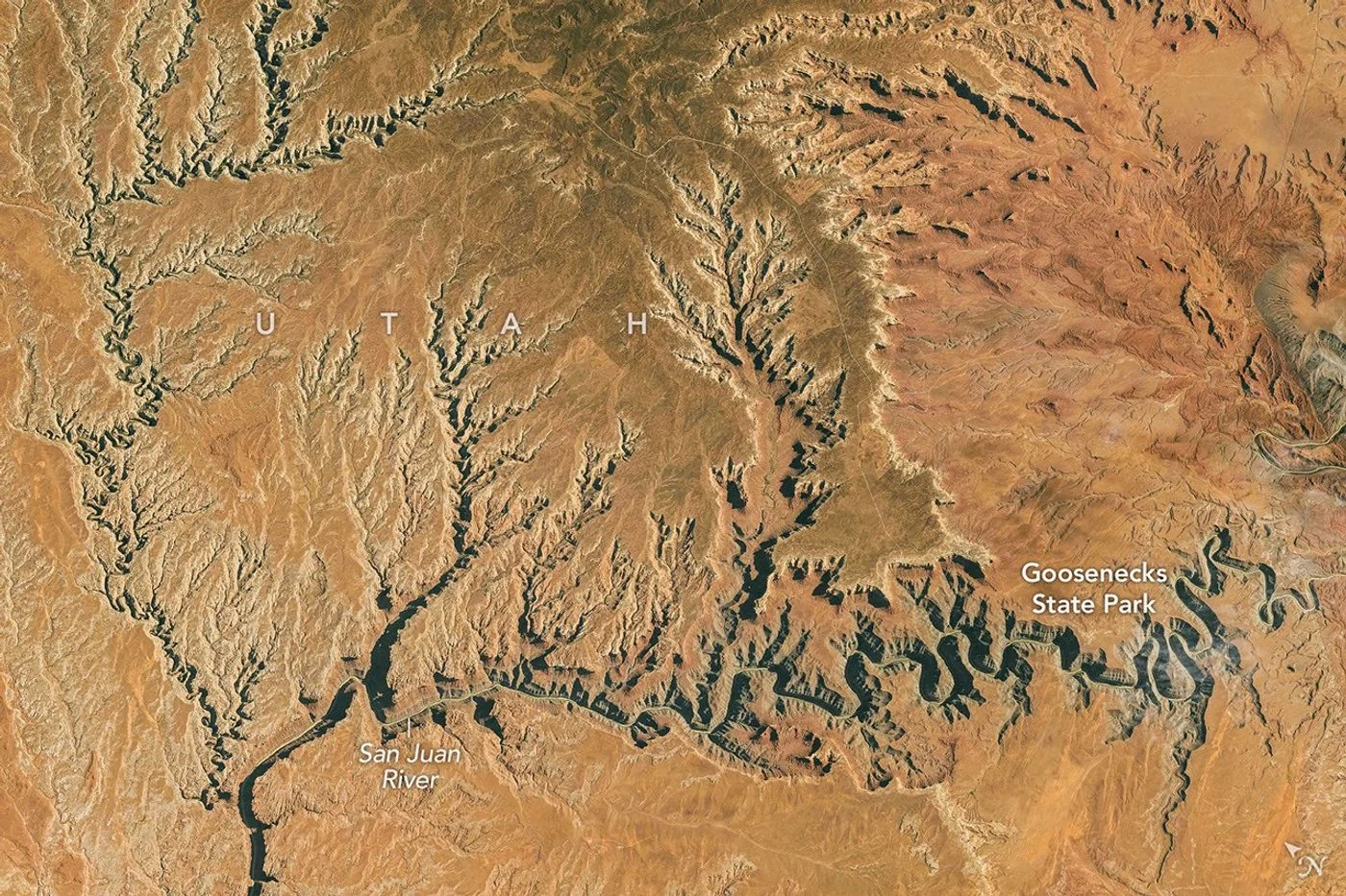 Astronaut Photograph Follows Utah’s Deeply Winding San Juan River
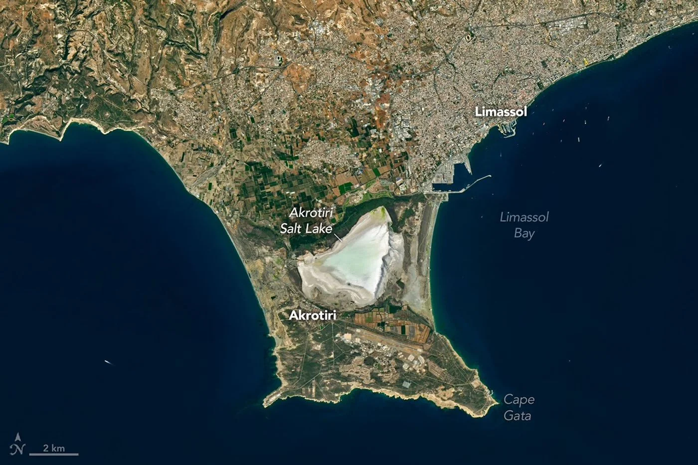 Landsat View Reveals the Changing Shores of Southern Cyprus