Gravity Satellite Study Sharpens the Picture of Human Water Use
A longer observation record helps researchers examine where management and farming affect water storage.
Water measured through gravity
A NASA study described on October 20 uses GRACE and GRACE Follow-On measurements to examine changes in water stored on land. The analysis covers April 2002 to November 2025, connecting long-term gravity observations with patterns of water gain and loss.
A clearer local picture
Researchers identified 40 regions where storage trends were associated with human activities as well as climate variability. Groundwater irrigation, reservoirs and land-use changes were among the factors examined. Combining many satellite passes improved spatial detail, with a trade-off in time resolution.
Different places, different effects
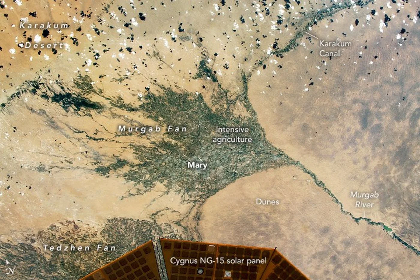
The findings include declines in heavily irrigated regions and gains associated with some reservoirs and diversions. The accompanying archive photograph shows the Karakum Canal, one example discussed in the report. It illustrates the setting, rather than directly showing an underground water trend.
An association in a regional analysis should not be read as a verdict on every farm or water project within it. Measurements, statistical methods and local records each contribute different evidence. Follow the linked study summary for the scope of its conclusions and remaining research questions.
Source & verification
This independently written summary is based on NASA’s original report, released 2026-10-20. Consult the source for research details, methods and subsequent updates. NASA does not sponsor or endorse this publication.
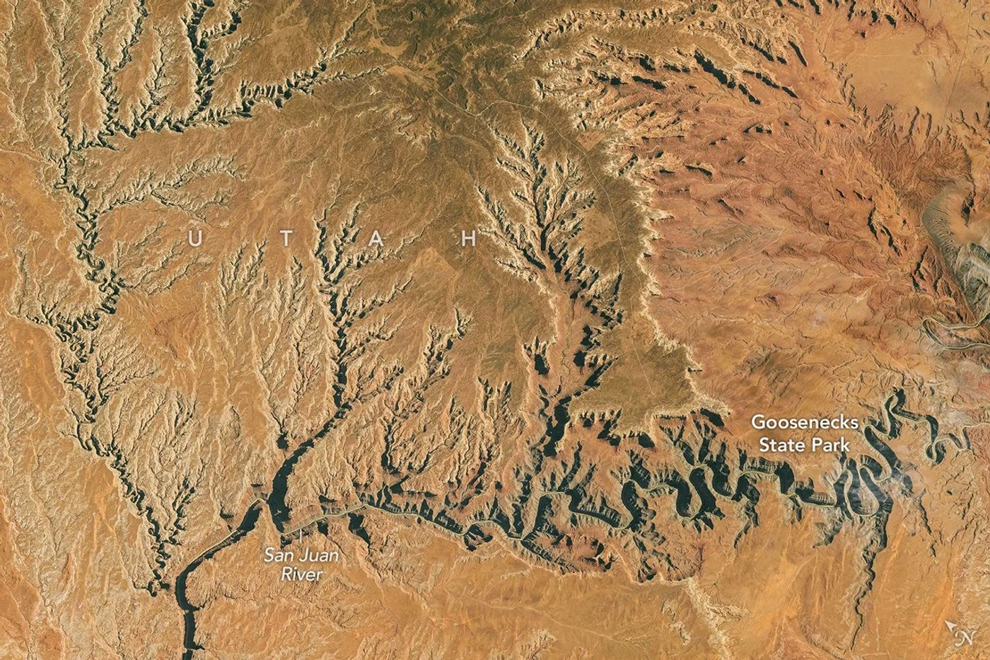 Astronaut Photograph Follows Utah’s Deeply Winding San Juan River
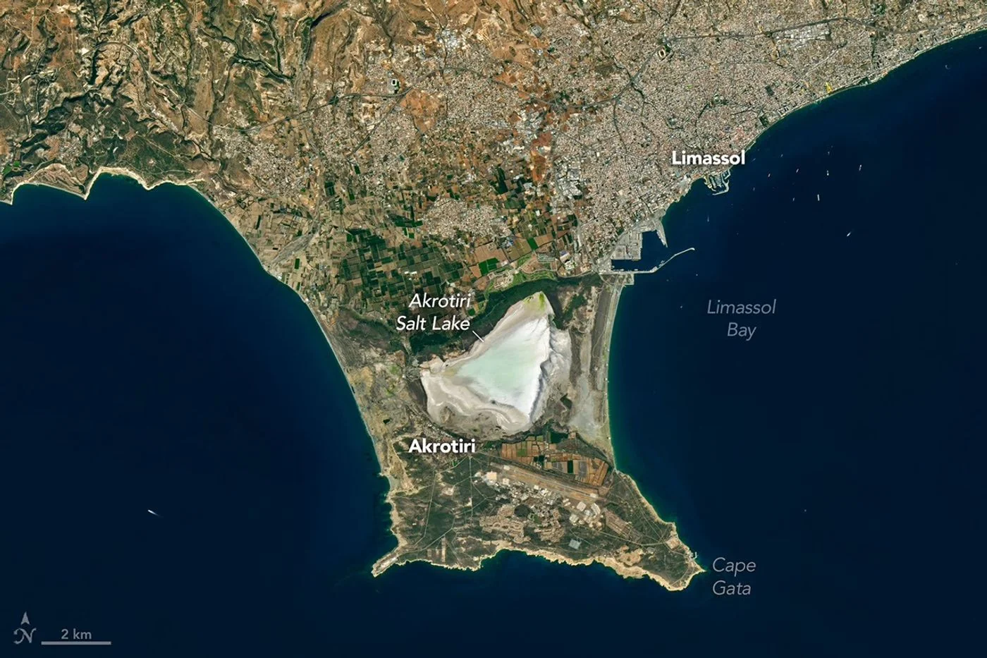 Landsat View Reveals the Changing Shores of Southern Cyprus