Landsat Views Show Exposed Ice on Antarctica’s Vega Island
A spring observation draws attention to snow cover and the darker ice beneath it.
A striking island outline
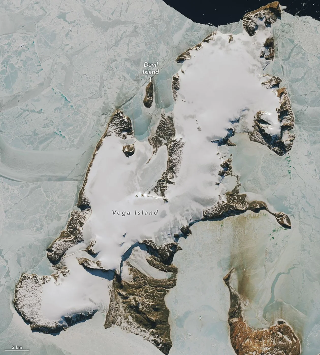
NASA’s October 30 image report examines Vega Island, east of the Antarctic Peninsula. A Landsat 9 scene from October 10 shows areas of bare, darker ice alongside snow, rocky outcrops and glacial debris. Together those features create a skull-like outline in part of the island.
Snow and sunlight
The report compares the scene with an observation from March 2025. A glaciologist consulted by NASA links the limited spring snow cover to winter conditions, including warmth, wind and sublimation. Bare ice absorbs more sunlight than fresh snow, an important distinction as daylight increases.
What comparison can establish
The island’s glaciers have been examined through field measurements and satellite records over many years. The two published scenes illustrate differences in surface appearance, but their different seasons matter. They should not be treated as a standalone measurement of annual ice loss.
Images with memorable shapes can attract attention, but the useful scientific questions concern snow, ice and how conditions were measured. Look for acquisition dates and a longer observation record before interpreting a visual contrast as a climate trend.
Source & verification
This independently written summary is based on NASA’s original report, released 2026-10-30. Consult the source for research details, methods and subsequent updates. NASA does not sponsor or endorse this publication.
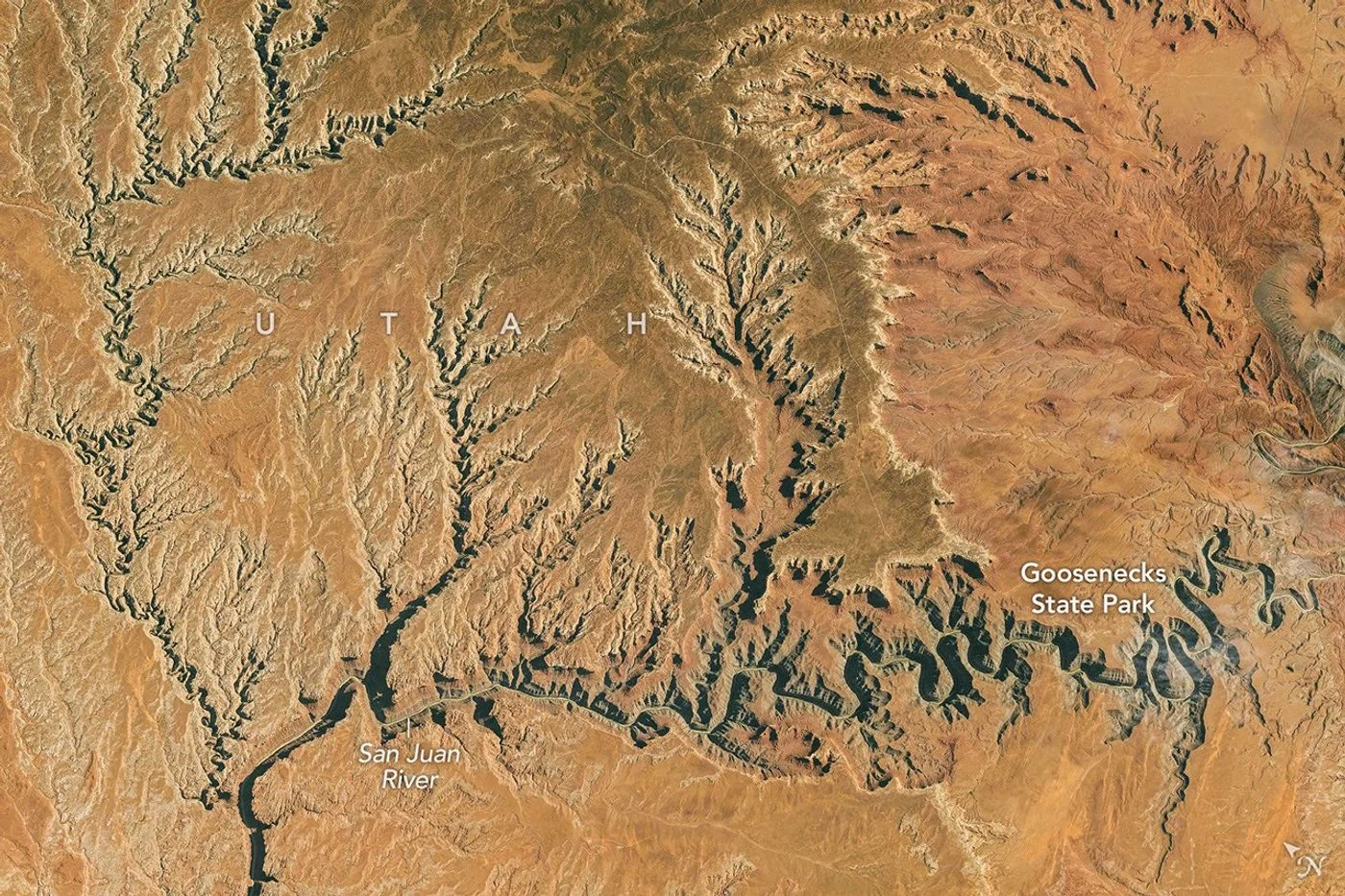 Astronaut Photograph Follows Utah’s Deeply Winding San Juan River
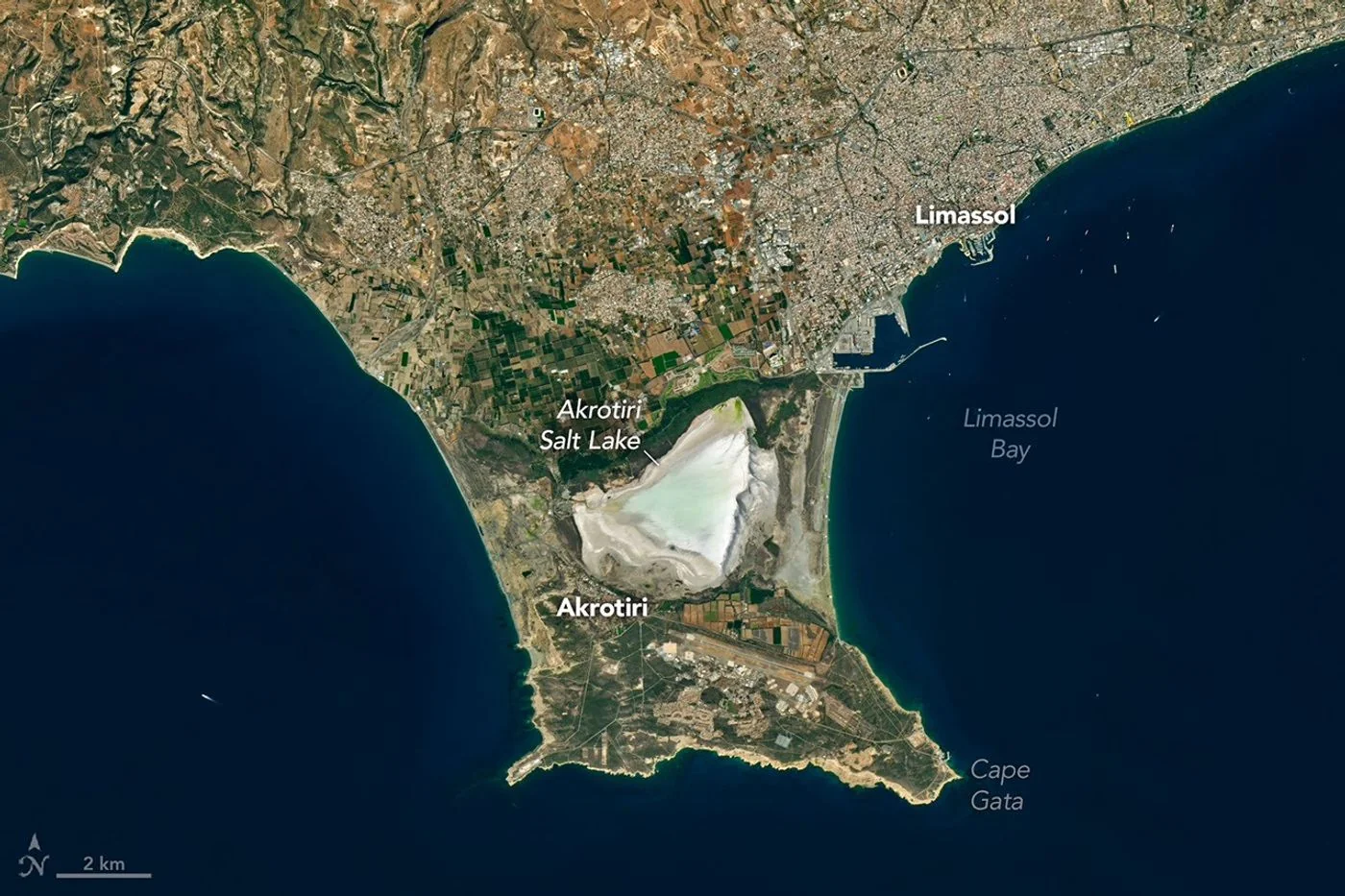 Landsat View Reveals the Changing Shores of Southern Cyprus